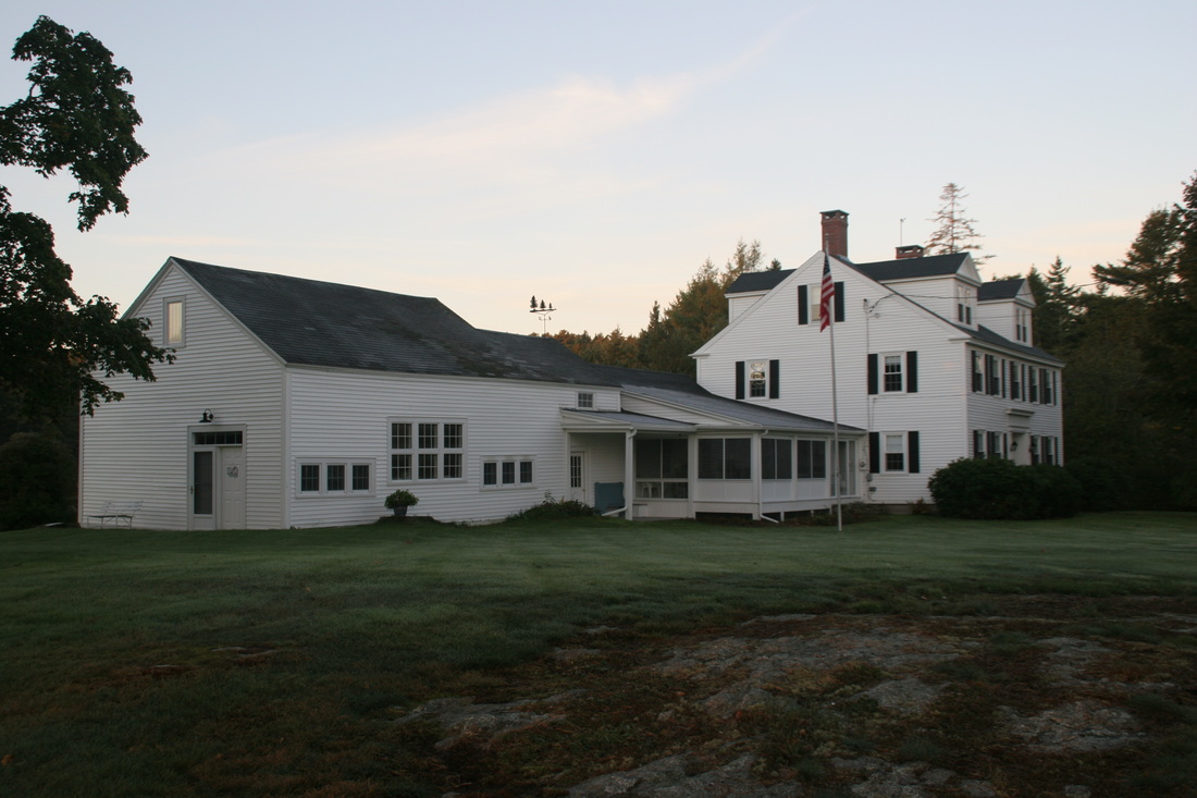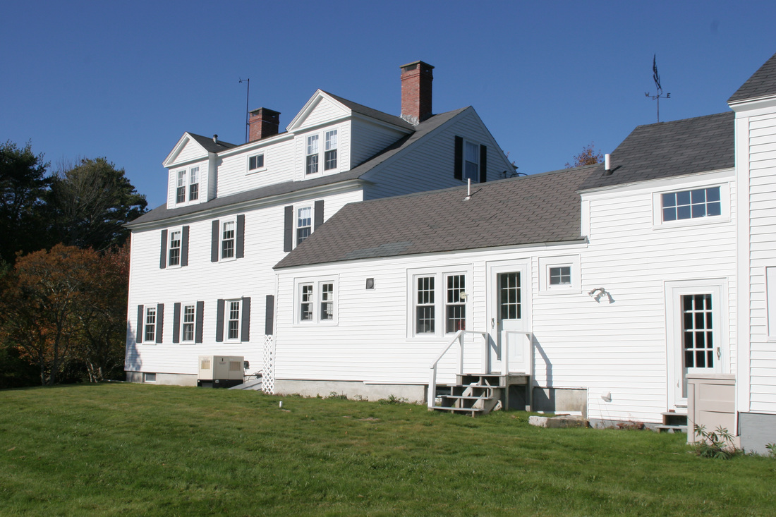
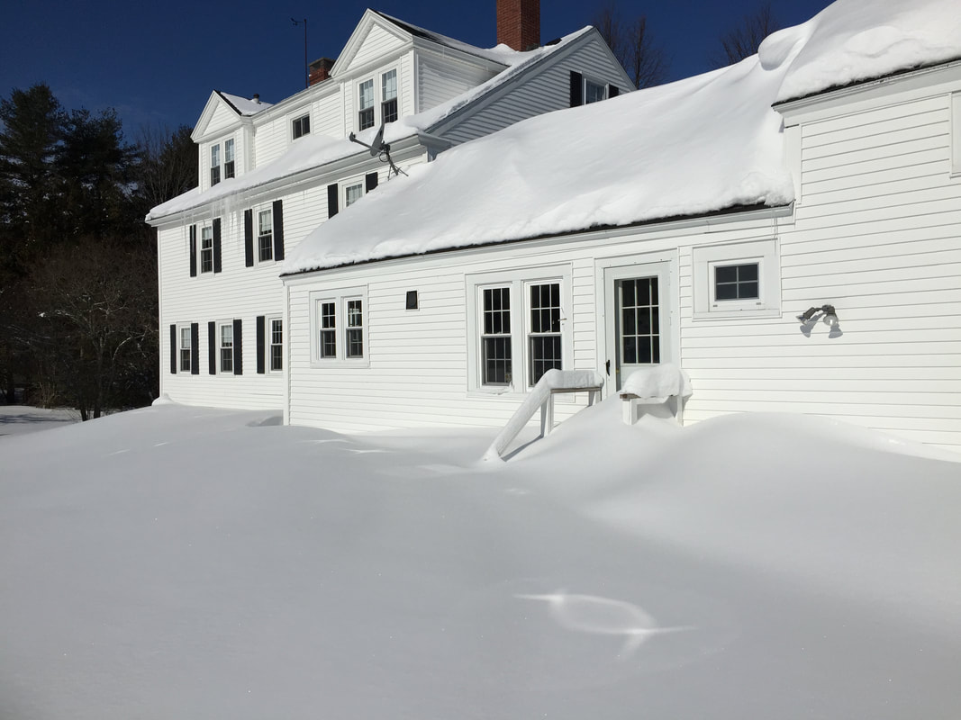
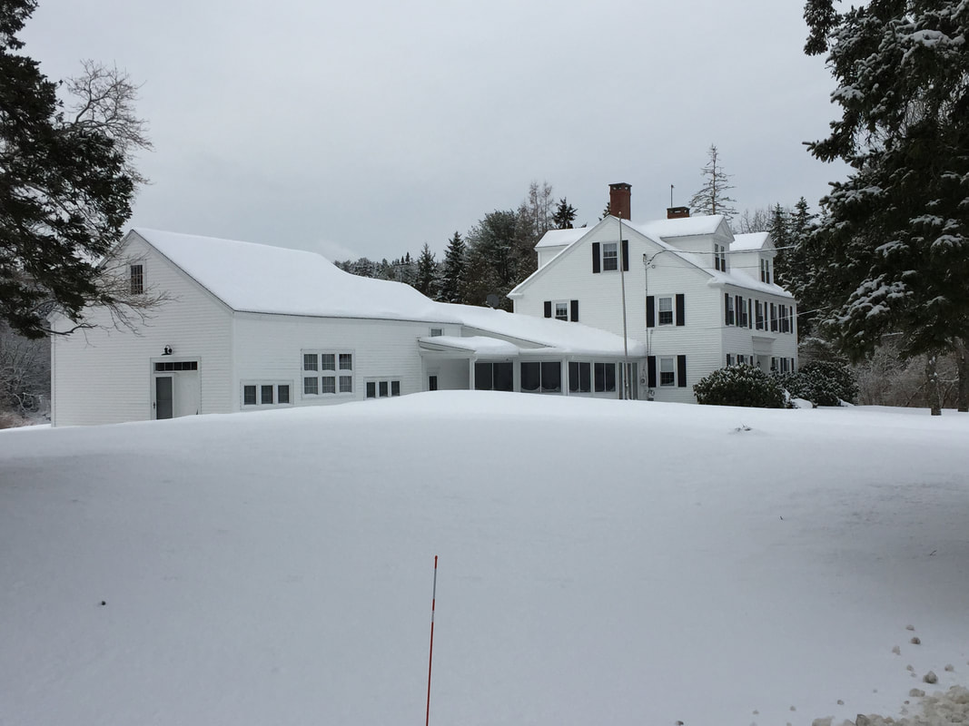
Manor House
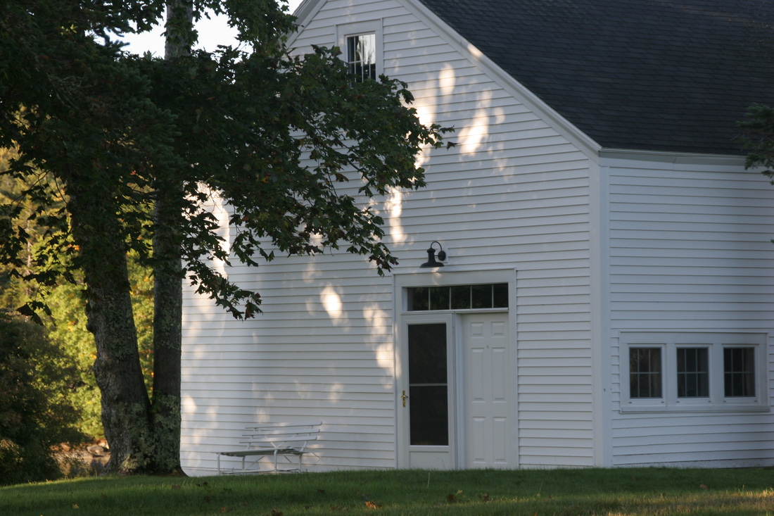
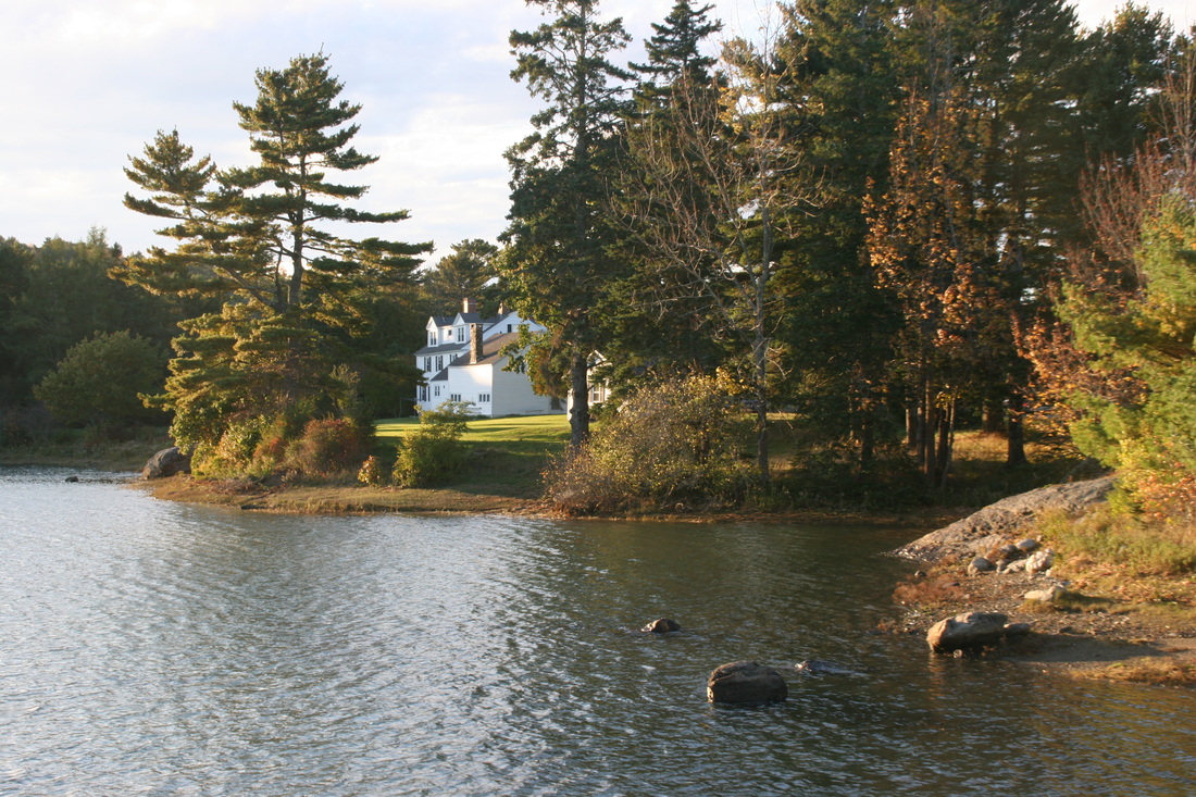
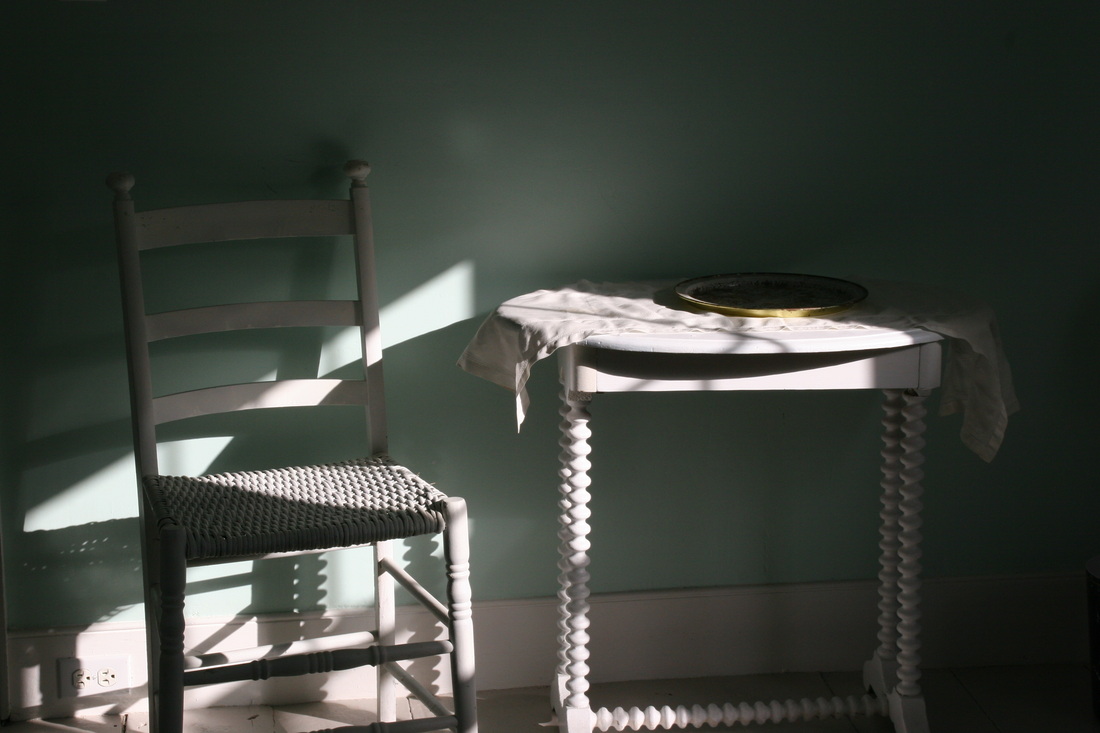
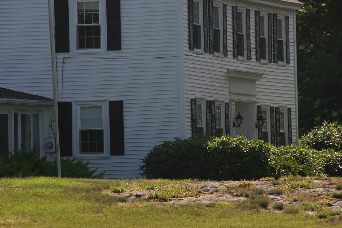
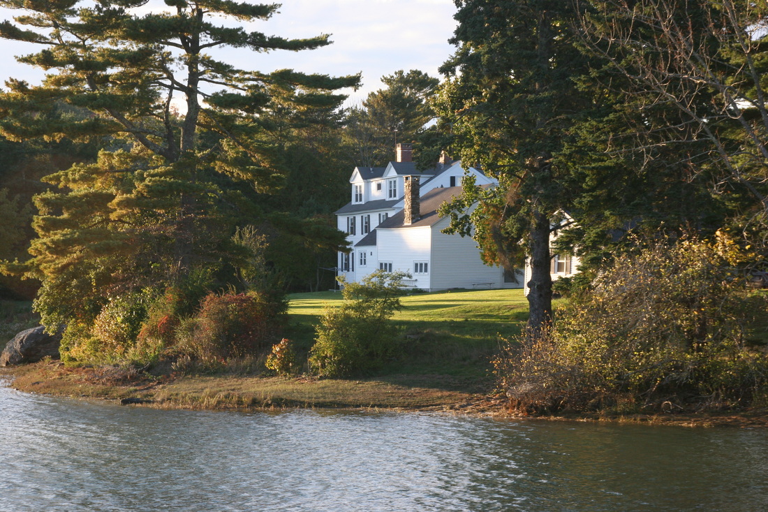
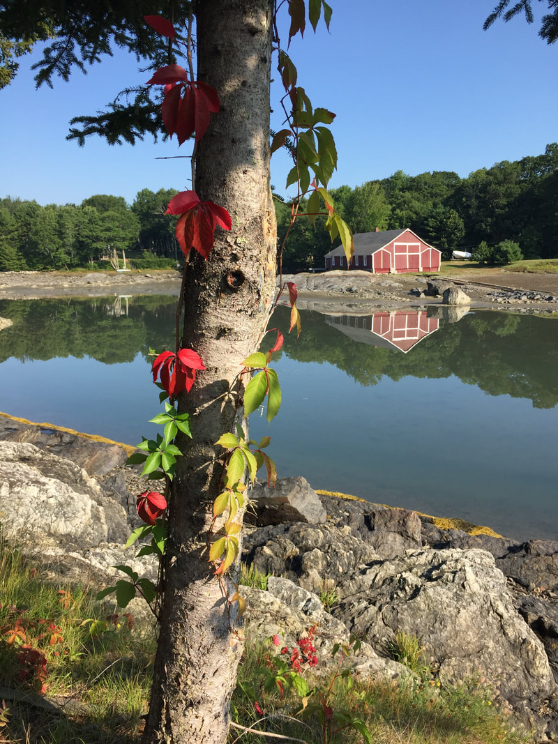
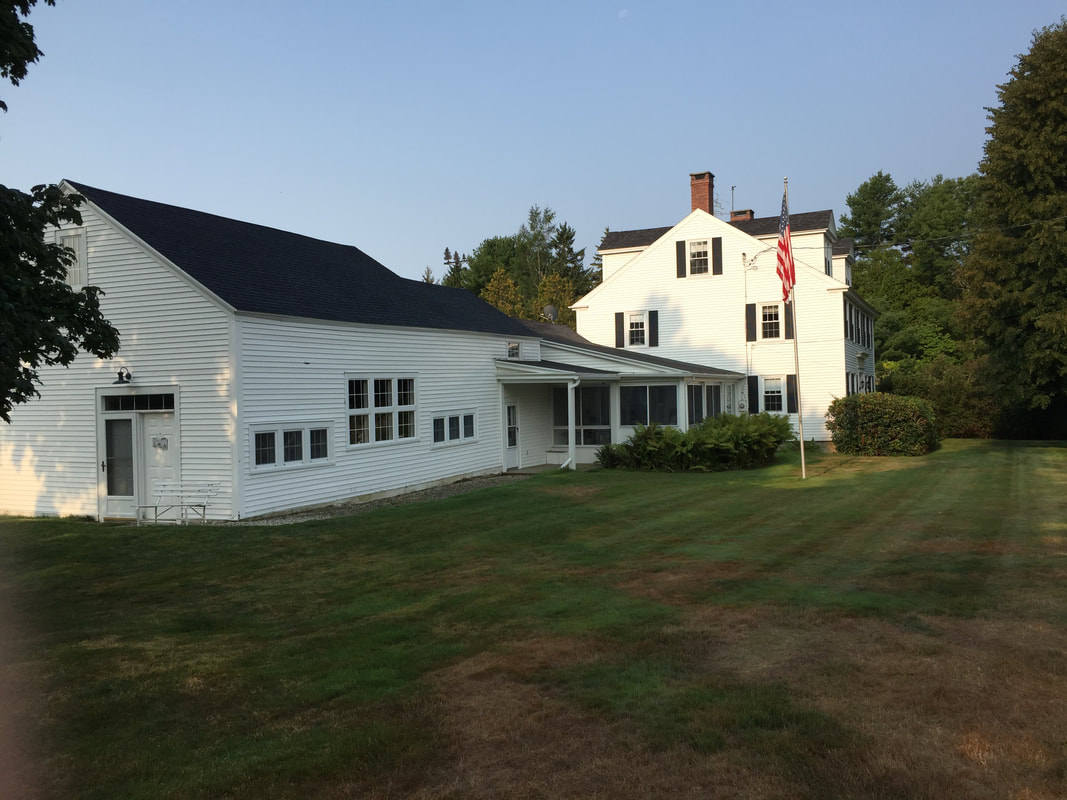
The following relates to "Manor House," located in Blue Hill Falls, Maine - between Conary Cove/Blue Hill Bay and the Mill Pond (Tide Mill Pond), Blue Hill Falls had been known as Tide Mill District for many years and Manor House was a central element there. The house and attached barn were built in 1835 and were always painted white.
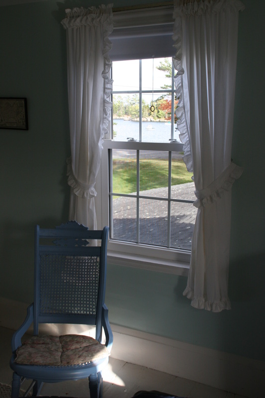
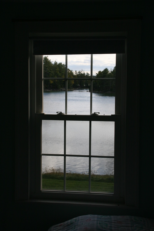
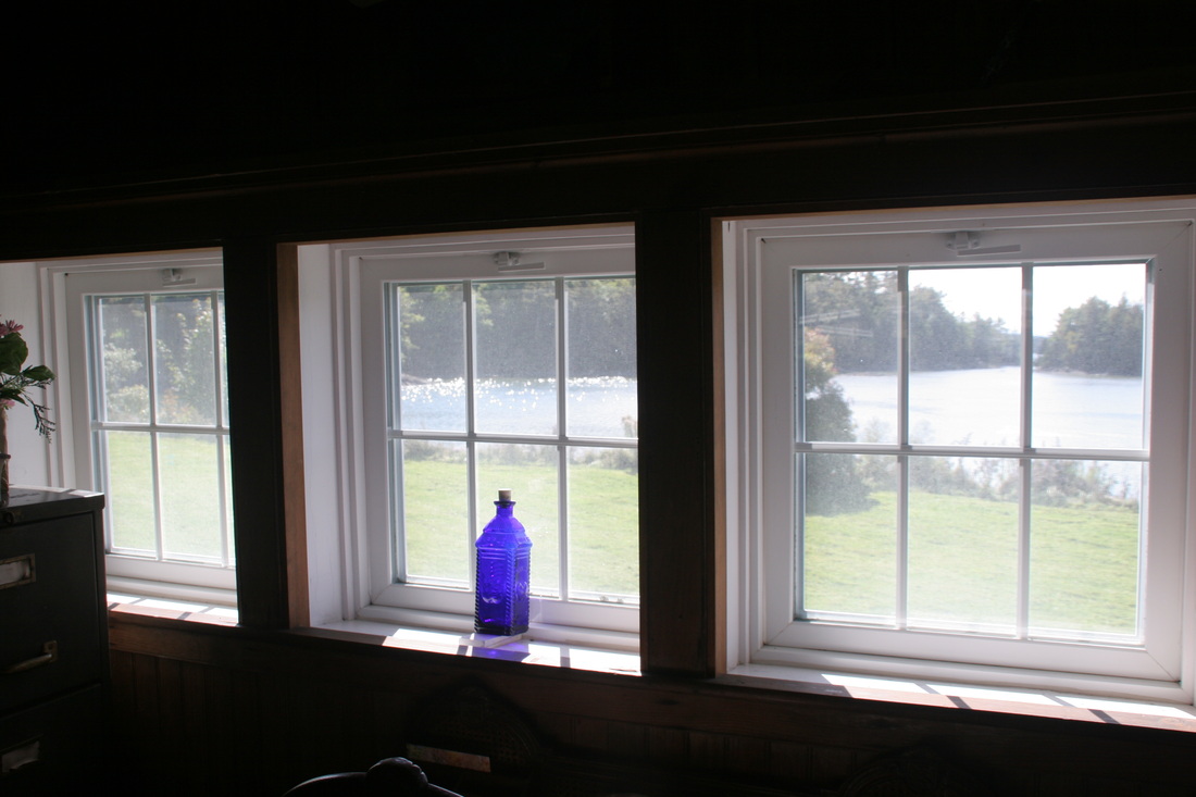
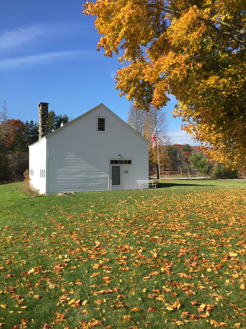
Manor House was purchased in 1926 by Mary Samuel Ashhurst (my great grandmother) and was in our family until January 2016 - 90 years. The photos here show the property as it looked when sold, with major (i.e., foundation) and related renovations completed in the 90's, and other restorations/improvements made over the years. A key note is that the removal of a front porch on the main house was done in the 90's to return that portion of the house to its original configuration. The dormers and the raised back roof section were n to original but were retained. A new roof for the "Studio" (the barn) was completed in 2015 and that structure was in all probability the oldest fully pegged barn on the Peninsula - that was actually used as a living space. It breathed and was a living space. A lot has changed.... Some comparative photos are located at the bottom of the Home Page (1950 vs. 2015).
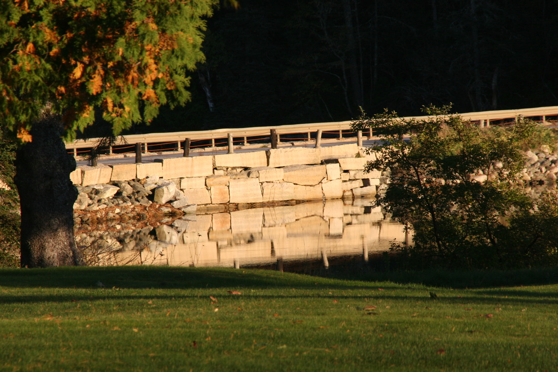
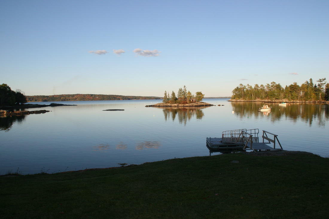
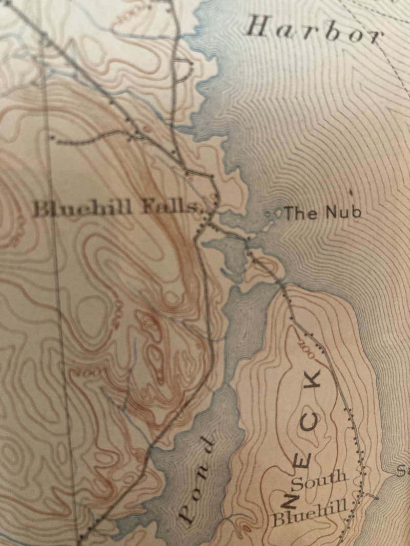
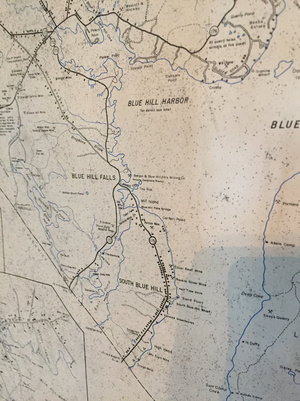
The Mill Pond is fed from and drains primarily to Blue Hill Bay and to a very limited degree, the Salt Pond. At one time a tide driven mill used its waters for power at the Mill Pond Dam for lumber and grist milling. The mill was located on the bay side of the dam that leads to Mill Island, Falls Bridge and the Blue Hill Neck. The Tide Mill stood on the site as depicted in two mid-1800 photos in the right viewer, with Manor House in the middle of the photo as a reference.
Blue Hill Falls, as with many other locations in the area, were never towns or villages - they were where the School and/or Post Office (PO) was. The only "village" as such was Blue Hill and the Town of Blue Hill incorporates them all.
South Blue Hill is an area south of the Falls Bridge on the Blue Hill Neck which served as the reference for the area and never included Blue Hill Falls ( a point of fact and confusion for some). Only the School House (SH) is identified on the 1881 map below as the post office (PO) was not established there until 1886. Other photos include what was the Blue Hill Falls PO and Blue Hill Falls School - both located on Conary Cove.
The South Blue Hill PO operated on the Blue Hill Neck from 23 June 1886 to 15 September 1923 when it ceased operations (source - US Postal Service archives)..
The Blue Hill Falls PO (04615 ZIP designated in 1963) was established May 1, 1852 on Conary Cove in Blue Hill Falls. Its functions moved to the Blue Hill Neck in 1946 where the postmistress, Mrs. Hazel M. Day lived. It eventually ceased operations on January 8, 2005.
Acronym - Zone Improvement Program (ZIP). Other local photos can be seen at www.bluehillfalls.me.
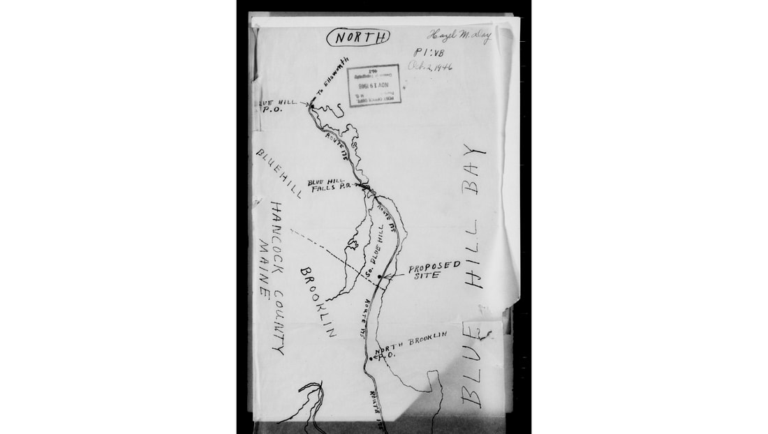
From the National Archives - US Post Office Department
|
|
|
|
Map - 1881
Blue arrows to school houses (SH) 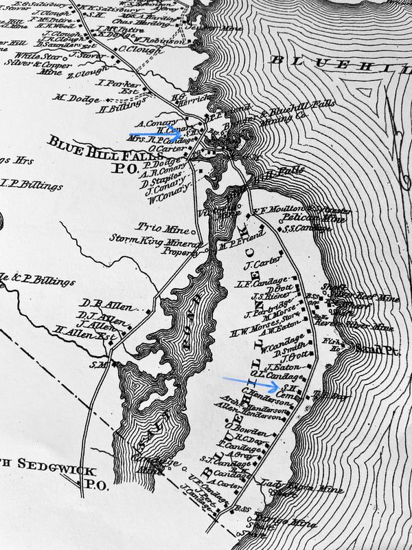
|
|
|
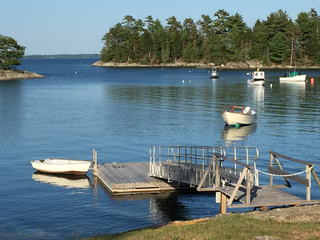
Conary Cove - Blue Hill Falls, Maine
|
Manor House and Tide Mill District on Conary Cove
|
|
Drone above it in 2015
|
Take a Tour in 2015
|